Using airborne observations to evaluate wildfire ozone production in GEOS-Chem
Click to hide details
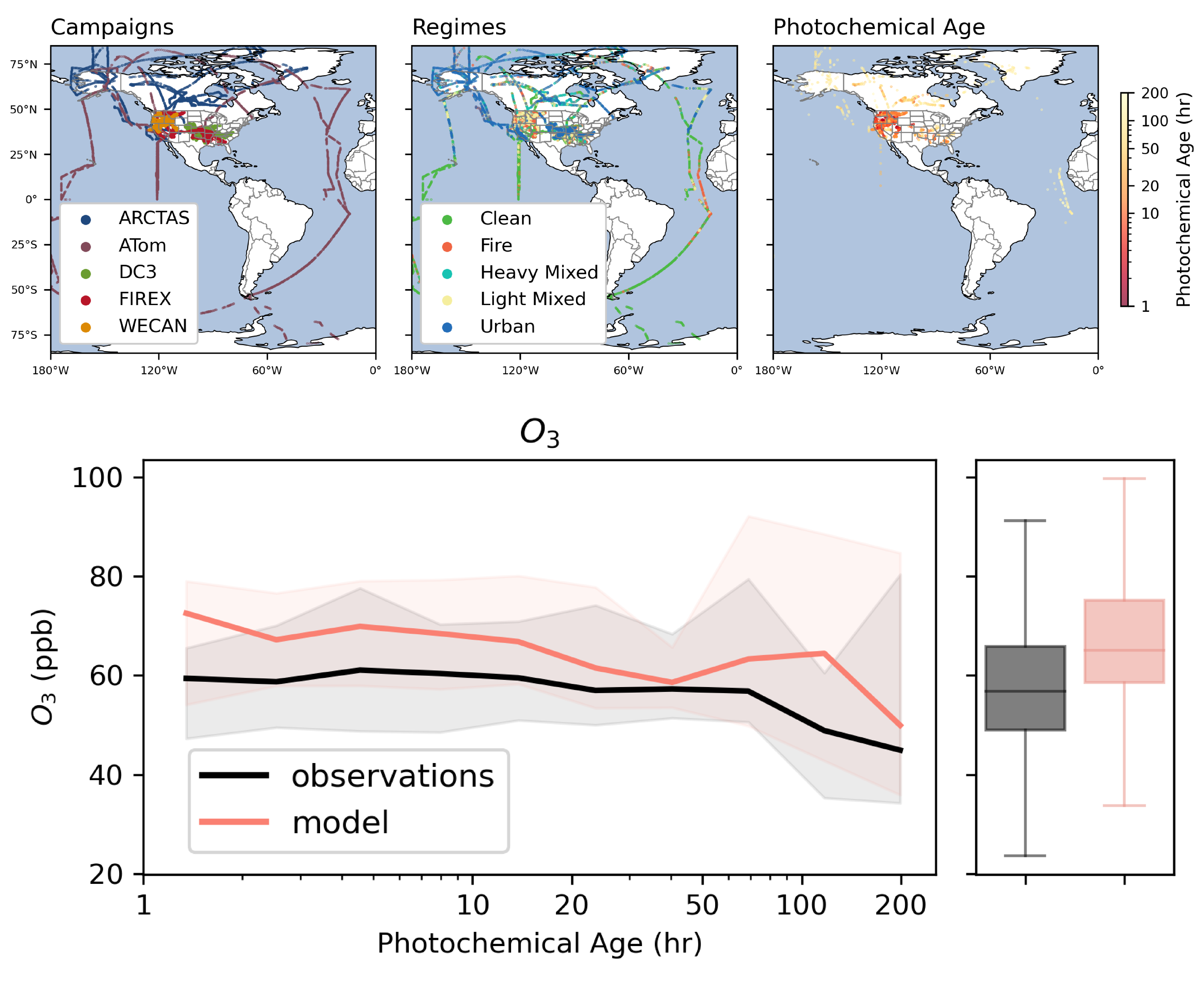
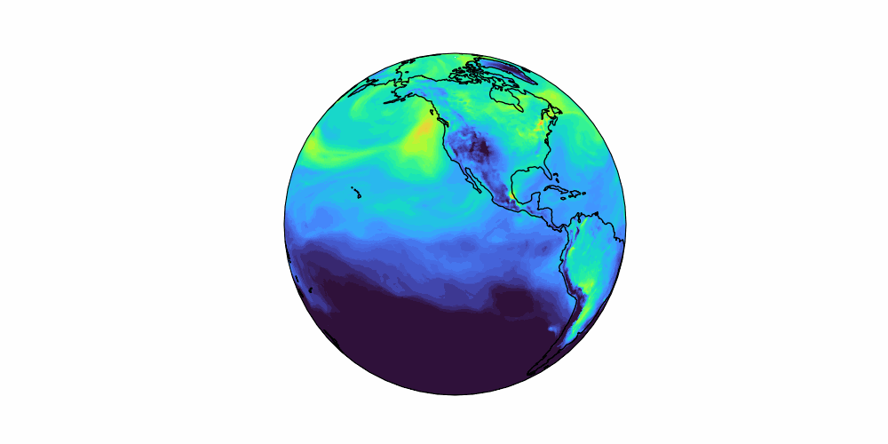
Ozone is a pollutant that negatively impacts human health and a greenhouse gas that contributes to warming the global atmosphere. Wildfires are increasing in frequency and scale, but the impact they have on tropospheric ozone remains uncertain. Quantifying this impact requires understanding the chemistry within wildfire smoke plumes as they age and evolve and defining how well our global models represent that chemistry. This study compiles numerous aircraft observations to capture smoke evolution and identify key factors influencing ozone production. We show that fire-ozone production increases as plumes age, and that smoke mixing with anthropogenic emissions may drive even larger enhancements. We expose some limitations that a global atmospheric chemistry model has in representing the observed effects. Finally, we quantify the global impact of fires on ozone concentrations and human exposure within this global model.